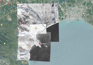
The non-profit Society for the study of ancient topography Dipylon in collaboration with the worker cooperation commonspace under the auspices of the Greek Chapter of the International non-profit organization Computer Applications and Quantitative Methods in Archaeology (CAA-GR), with the support of the Laboratory of Geophysics – Satellite Remote Sensing &Archaeo-Environment of the Institute of Mediterranean Studies organizes a seminar on “Spatial thinking in Archaeology and History using GIS“.
The purpose of the seminar is to familiarize participants with the basic principles of Geographic Information Systems (GIS) and their main applications in history and archaeology.
Instructor: Eleni Mougiakou, GIS expert, MSc Geoinformatics NTUA
Invited Speaker: Georgios Liakopoulos, Historian-Ottomanist, Ph.D., Royal Holloway, University of London
Duration: 24 hours in 8 weekly meetings
Time: 17:30-20:30
Dates: every Thursday February 8 – March 29, 2018
Language: Greek
Place: DIPYLON offices, Roma 5, 106 73, Athens
Participation cost (per person): € 120
Applications: until February 4, 2018. Maximum number of participants: 10 on a first-come first-served basis.
Grants: 2 grants to unemployed persons will be given out by Dipylon and commonspace.
Further information: Κaterina Stathi: info@dipylon.org